
 Clay & Richland Counties, IL -(Effingham Radio)- The following information comes from the National Weather Service in Lincoln:
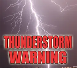
***This Weather warning has expired***
SIGNIFICANT WEATHER ADVISORY FOR SOUTHWESTERN RICHLAND AND CLAY
COUNTIES UNTIL 145 PM CDT...

At 109 PM CDT, Doppler radar was tracking a strong thunderstorm near
Louisville, or 9 miles northwest of Flora, moving east at 40 mph.

Pea size hail and wind gusts up to 50 mph will be possible with this
storm.

Locations impacted include...
Flora, Louisville, Clay City, Xenia, Iola, Sailor Springs and
Oskaloosa.

PRECAUTIONARY/PREPAREDNESS ACTIONS...

Frequent cloud to ground lightning is occurring with this storm.
Lightning can strike 10 miles away from a thunderstorm. Seek a safe
shelter inside a building or vehicle.


Comments